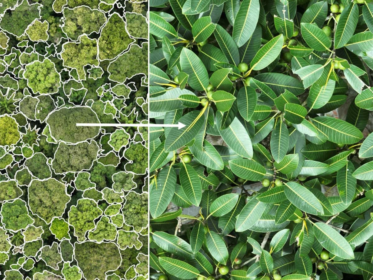
Using drones to deliver imaging sensors into the rainforest canopy, Limelight Rainforest captures high‑resolution photos of trees and lianas, allowing precise estimates of canopy cover, structure, and species composition. These images, linked via segmentation and mapping tools, transform photographic data into quantifiable metrics that describe forest health, vegetation dynamics, and habitat complexity. Because we can identify many trees to species, we provide the highest quality tree biodiversity data on earth.